
About this apiary
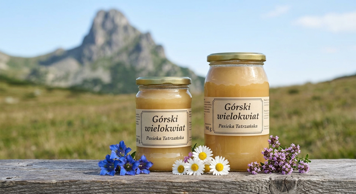
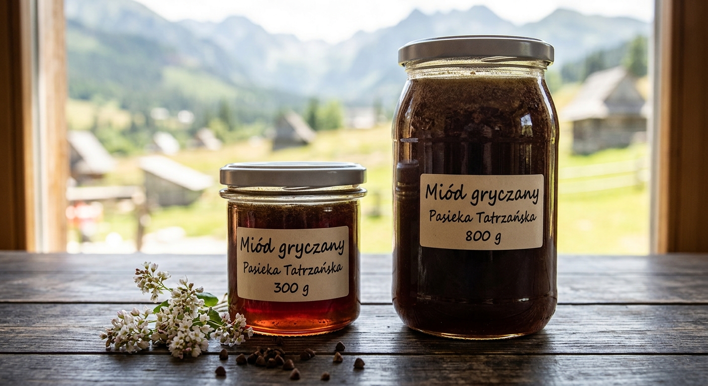
Apiary in the sub-Tatra valley. Buckwheat from the fields and mountain polygloom harvested at altitudes above 700 m above sea level
Apiary data
Land cover around the apiary
- broadleaf forest 356 ha
- mixed forest 1,804 ha
- conifer forest 1 ha
- forest (Forest Data Bank) 824 ha
- meadows and pasture 1,018 ha
- fallow land 22 ha
- rapeseed 63 ha
- melliferous crops 46 ha
- orchards and berry fields 18 ha
- arable land 1,382 ha
- scrub and green space 55 ha
- wetland 1 ha
- built-up land 1 ha
The ring around this apiary holds 5,592 ha of classified cover out of 7,854 ha of circle — 71.2% of it. No source describes the rest.
Approximate location (±5 km)
Bee forage sources
Within a 5 km radius of the apiary
Computed from land cover in the forage ring. Layer: forage ring
- 🌲 Forests – 38.0%
- 🌾 Cropland – 19.0%
- 🌿 Meadows and pastures – 13.2%
- 🌱 Other green and natural areas – 0.9%
- Other (non-melliferous) – 28.8%
Season timeline
Bars: forage potential in the ring [t]. Line: measured gain per hive [kg]. Dots: harvests detected. Pick a window or press play — the map shows what was in bloom.
- nectar
- honeydew
- measured gain
whole season · 25 Mar → 9 Sep
Pick a window to see what was in bloom.